Spatial Solutions & Subsurface Utility Scanning
Terrax3d delivers high-definition geomatics, 3D laser scanning services, and non-invasive subsurface utility mapping. Empower your architectural, engineering, and construction teams with millimetric point clouds and utility strike prevention.
Our High-Intent Spatial Services
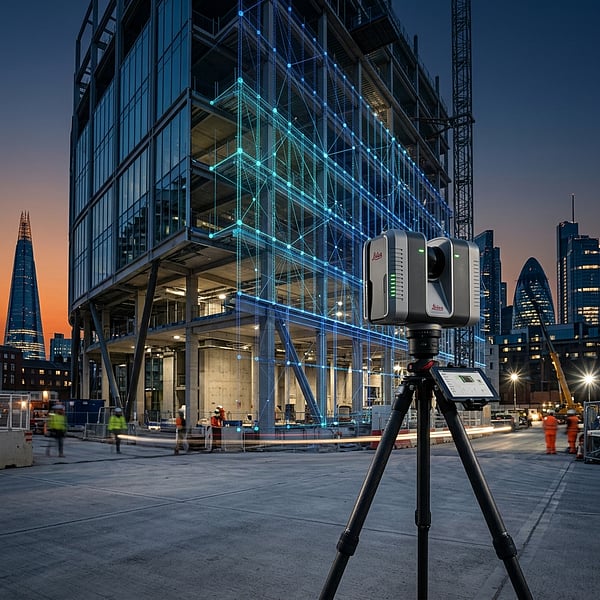
We combine cutting-edge technology including Ground Penetrating Radar (GPR) and Terrestrial Laser Scanning (TLS) to capture real-world coordinates.
3D Laser Scanning & Scan-to-BIM
Capture highly detailed as-built conditions with terrestrial and mobile laser scanners (LiDAR). We transform dense point cloud models into architectural Revit models, CAD blueprints, and high-definition clash detection surveys.
- Industrial plant and facility spatial mapping
- Accurate Revit & Scan-to-BIM conversions
- As-built layout and clash detection surveys
Why B2B Clients Trust TerraX3D
We specialize strictly in industrial spatial engineering, providing millimetric coordinates that civil planners, builders, and mining operators rely on.
Millimetric Spatial Accuracy
By tying sub-decimeter RTK drone mapping together with millimeter-accurate terrestrial scanners, we deliver verified coordinates that reduce structural layout rework.
Zero-Strike Safety Standards
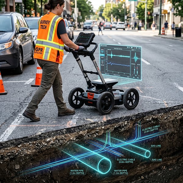
Our utility locating operations strictly conform to SUE (Subsurface Utility Engineering) guidelines. We map gas, water, power, and telecommunications before you excavate.
Scan-to-BIM & CAD Files
We don't just dump raw point clouds. We clean, register, and model spatial assets directly into editable Revit BIM models, AutoCAD DWG layouts, or shapefile databases.
Tailored B2B Spatial Services
Different sectors demand different data deliverables. We tailor our scanning precision and coordinate outputs to align with industry regulatory requirements.
Civil & Construction
Locate metallic & non-metallic utilities before excavation to prevent shut-downs, verify concrete reinforcement elements, and draft as-built blueprints.
Mining & Resources
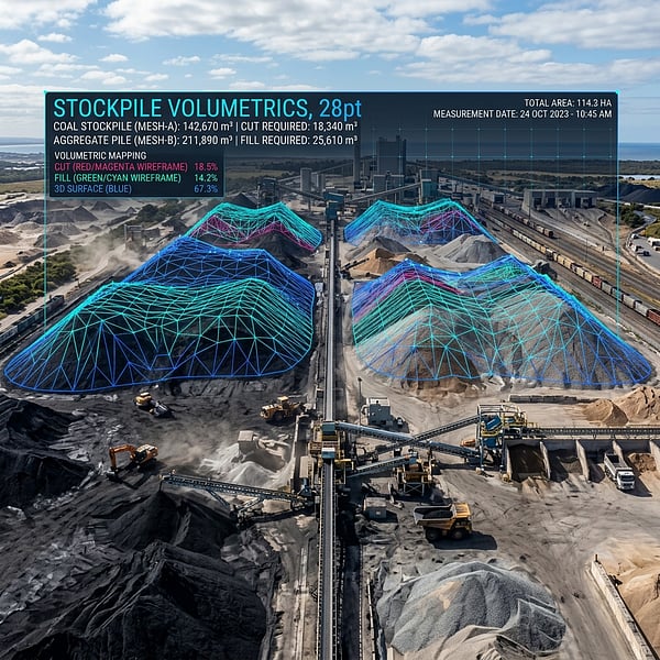
Perform drone volumetric audits of bulk piles, track mine inventory progress, and map open pit contours with sub-decimeter accuracy.
Energy & Powerlines
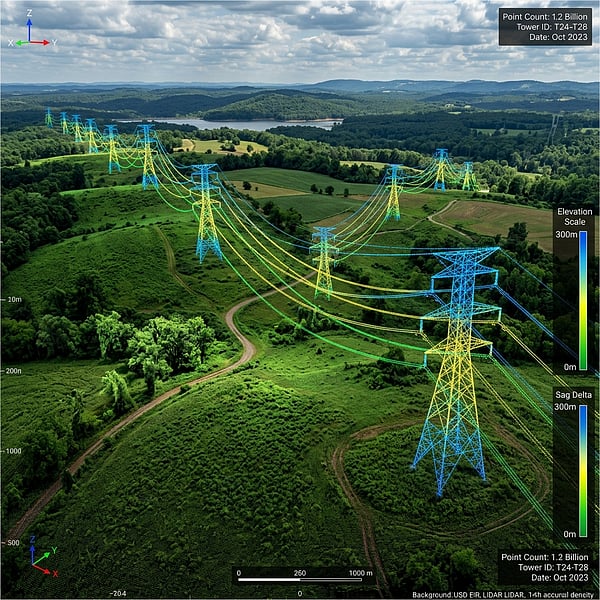
Map electrical utility corridors to run wire sag calculations, verify vegetation clearances, and audit tower structure alignment.
Agriculture & Forestry
Build digital elevation models (DEM) for slope grading and field irrigation designs, and map boundaries with survey control points.
Our Premium B2B Technology Stack
To outrank conventional survey agencies, TerraX3D maintains a state-of-the-art spatial hardware and software ecosystem, delivering legally defensible survey coordinates.
Utility Scanning
Dual-frequency GPR to trace metallic and non-metallic utilities, conduits, and voids.
Aerial Mapping
RTK drone surveys mapping control points to absolute orthomosaics.
3D Laser Scanning
High-density laser scanners capturing millimeter-accurate point clouds.
Scan-to-BIM Models
Transform point clouds into Revit models (.RVT) and CAD layouts (.DWG).
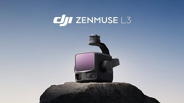
DJI Zenmuse L3
LiDAR Payload
We deploy enterprise DJI drone platforms carrying the high-accuracy DJI Zenmuse L3 LiDAR payload. Emitting up to 100,000 laser pulses per second, this system pierces dense tree canopies to deliver verified elevation data and 3D digital twins.
Our 4-Step Spatial Engineering Process
We handle the entire data pipeline from initial flight planning and site scanning through point cloud registration and CAD modeling.
Setup & Control
Establish precise physical survey control points on-site using dual-frequency RTK GNSS receivers before deploying sensors.
Rapid Site Capture
Deploy GPR radars, electromagnetic trackers, or terrestrial LiDAR systems without interrupting active commercial sites.
Point Registration
Merge and register multi-station point cloud registers, filter out background noise, and align them to coordinate systems.
BIM/CAD Export
Export final spatial structures in requested B2B formats: RVT (Revit), DWG (AutoCAD), shapefiles, or certified reports.
Frequently Asked Questions
Get answers to common inquiries about our professional spatial, GPR scanning, and engineering surveying solutions.
Avoid Utility Strikes & Rework
Speak with a geomatics surveying expert today. Request custom scan estimates tailored to your building blueprint.